
Subject: Geography
Topic: Mapping skills
Age Group: KS2
Synopsis: Reading and interpreting maps are an important geographical skill which primary children need to understand and develop. But in times of driverless cars and GPS (Global Positioning System) are traditional devices for orientation in the field, such as a map and compass, tools of the past? The short answer is not yet, writes Wanda Gajewski from Wandsworth LRS. In fact, your pupils will learn that being able to orient themselves in the field with simple tools can even save lives.
Wanda Gajewski
Wandsworth SLS
Librarian’s view:
Day-to-day your pupils use the facilities offered by smartphones and download apps that make their lives easier at every step. As you and they may already know, there are map apps that show directions on how to find the best route to their destination. However, for any app to work the children must be online, have a charged battery and access to wifi coverage. But if they also have a map, they can use it if modern technology fails.
Understanding and using maps, the ability to know where you are, to be able to plan a route, to travel safely and know how to return, are skills that are an important part of building self-esteem. It is essential for children to be able to locate themselves and major world events with confidence.
Children will learn geography and geographical skills before going to school – especially if they travel a lot. The summer holidays are over, and many children will have enjoyed trips to the seaside or travelling to another country. I would anticipate that some children asked, ‘’Where is Spain (or wherever they were travelling)?’’ before setting out. The pupils probably also asked questions about where a city (eg, Barceolona) or a famous landmark (eg, Las Ramblas) is located. When using a map, you will be able to show your children exactly where Spain is found in Europe, and also show where it is in relation to other countries and continents.
The children will also learn that understanding maps is useful for English, History, Mathematics and Geography. Your children may well appreciate that a map is usually easier to use than written instructions because it offers a simple picture showing where they are.
A question such as, “What would you do if you couldn’t read a map?”, could spark a discussion in the classroom. The children will then be introduced to the basic terminology and concepts of mapwork – symbols, directional words and how to use a grid – so that they never need to be reliant on the underground to cross central London, for instance.
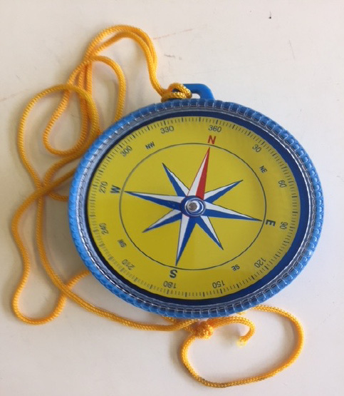
In conjunction with the map work, the pupils will also develop knowledge about how to use a compass. Students usually find discovering how to use these very interesting: it’s a great tool to develop their geographical knowledge.
Project Resources
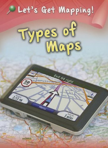
Types of Maps
by Melanie Waldron
In Types of Maps children will learn about the different things that maps can show them, from tourist information to weather and natural resources. Reading this book will give your pupils the skills to interpret all kinds of maps.

Mapping a School
by Jen Green
Illustrated by Sarah hoprne
This book will help children to discover the geography of school buildings and grounds. Children will also learn how to use scale in a school hall, read bus routes and surrounding roads, and make plans of rooms.

Mapping Information
by Melanie Waldron
In Mapping Information, the children will find answers to these questions; How can colours be used on maps? What is a dot map? They will also learn about the different ways that maps can show statistics and other information. Reading this book will give your pupils the skills to interpret statistical maps.
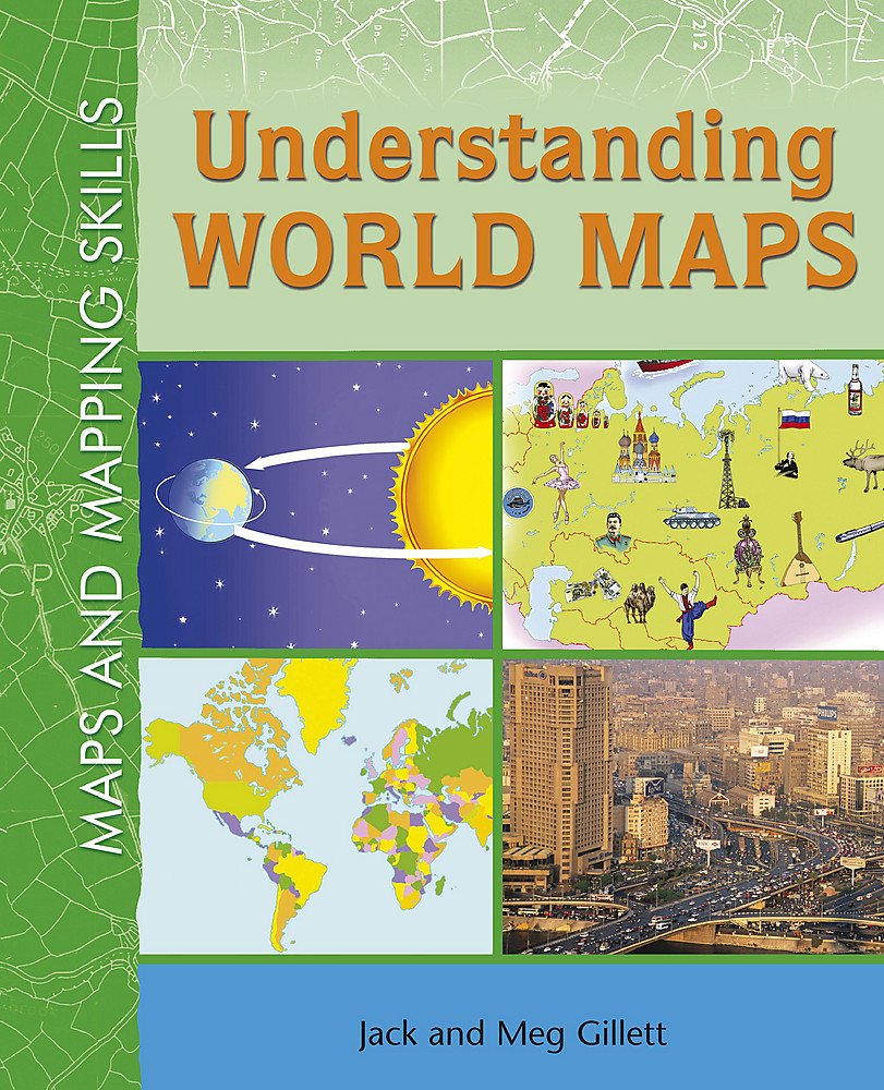
‘Maps & Mapping Skills: Understanding World Maps
by Jack Gillett and Meg Gillett
In this book, the pupils discover the basic principles of navigating an atlas. Important geographical concepts are introduced, from map projections and patterns to time zones, climate maps and data gathering.

Get Clever with a Compass
A booklet specifically designed for teachers to give them practical suggestions for hands-on activities with a compass.

Other Mapping Skills Resources
Giant Compass

Pocket Compass

Map Compass

Map Symbol Flashcards